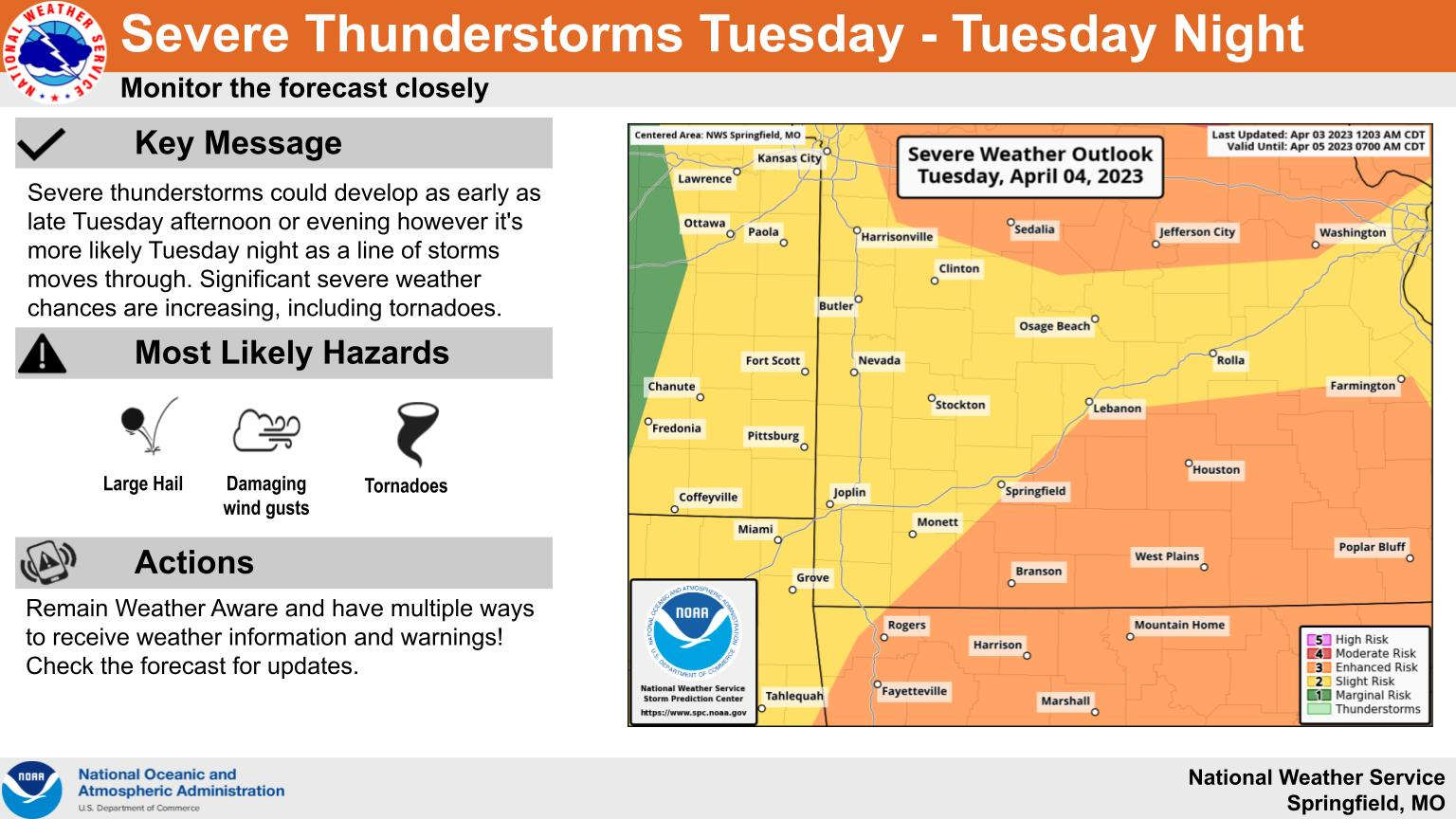
While the majority of the last regional severe weather outbreak missed the Lakes Region, another round of severe storms are in the forecast for Tuesday.
Information from the National Weather Service indicates warm Gulf Air will collide with an approaching storm system bringing in cold air that ,could initially bring in some isolated but strong super cell thunderstorms early Tuesday evening with a line of storms moving through later into the overnight hours.
Ahead of the front, strong winds will return with gusts up over 30 MPH today and over 40 MPH Tuesday ahead of the front.
Once the system passes through, cooler air will come in with some chances of frost both Wednesday and Thursday night.
 Breaking News: Dolly Parton Dies at 80
 Efforts Underway to Help Family Involved in Crash
 Man Facing Taney County Murder Charges Now Charged in Boone County
 Back to School Part Two: Missouri Schools Return to Class
 National Labor Day DWI Mobilization Under Way