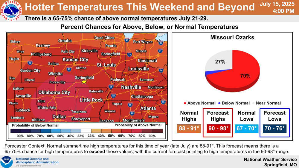
The pattern of scattered showers and thunderstorms will continue until the end of the week to then be replaced by a ridge of high pressure that will decrease the rain chance and increase temperatures.
The National Weather Service forecast says the stationary front that has parked itself over the region will be pushed north which will make way for warmer air from the south to increase temperatures into the mid to upper 90s into next week.
While rain is still in the forecast the rest of this week, highs will be in the low 90s with heat index readings around 100 in some areas.
 Branson Schools Announces New Executive Director of Operations
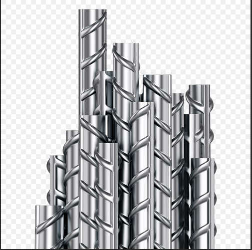 Pioneering Quality in the Steel Industry
 Can a Contractor Take Over Your Home
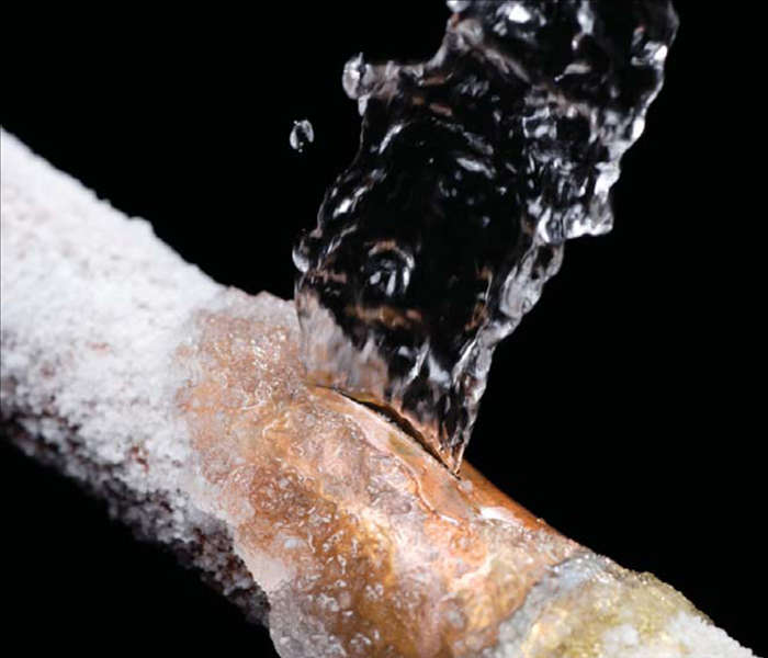 Frozen Pipes, Hot Water Heaters, and Dishwasher Mishaps
 Choosing the Right Trailer: A Comprehensive Guide