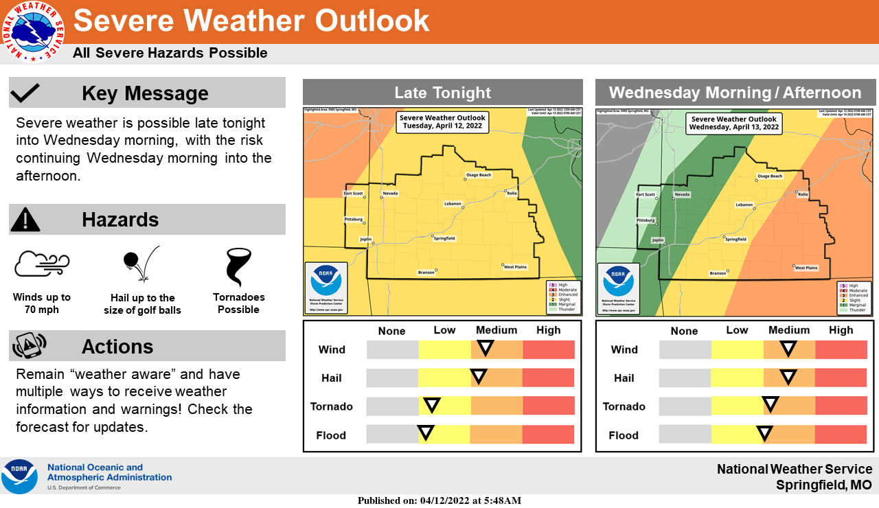
Round one of strong to severe thunderstorms resulted in scattered reports of hail from the Springfield area to Harrison with some strong winds reported in several areas of the Lakes Region.
After Dense Fog lifts in the area this morning, temperatures will quickly move to around 80 this afternoon with gusty winds prior to the next system moving into the region late tonight into Wednesday producing another round of potential severe thunderstorms with hail and high winds being the primary threat with tornados also a possibility.
Showers will eventually move out Wednesday night with dry and cool conditions forecast for Thursday.
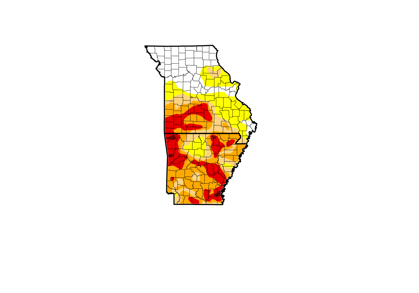 Drought Conditions Persist as Fall Begins
 Downtown Branson Fall Fest Begins Today
 Veterans Appreciation Day & Car Show set for Saturday in Branson
 Two Juveniles Reported Missing from Harrison
 H2Ozarks Shoreline Cleanups