Although a cold front is moving through the region today, not much change in temperatures is expected according to the National Weather Service.
What the front will bring is a slight chance of rain. While some areas will see some rain this morning, the best chance of rain in the Lakes Region is this afternoon and this evening. Some scattered severe thunderstorms are possible today with strong winds and hail the major threats.
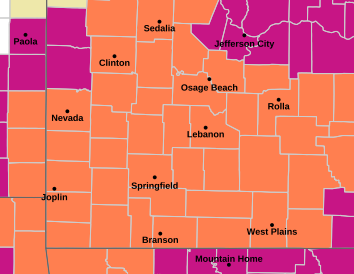
Ahead of the rain, today will be even hotter in the region. Heat Advisories remain in effect for southern Missouri and northwest Arkansas while portions of northcentral Arkansas including the Harrison Area are under an Excessive Heat Warning. Boone, Marion, Newton, and Searcy Counties are included in the area that could see Heat Index Readings above 110 today.
After the front moves through, temperatures will drop slightly, but only to the low to mid 90s and will quickly rebound back to 100 by the end of the weekend.
 Bell: Events All Through the Lakes Region are Good for Whole Area
 Stone County Ambulance District Breaks Ground on New Headquarters in Branson West
 NTSB Releases Details on May Plane Crash near Berryville
 Crane Man Killed in Pickup Truck Crash
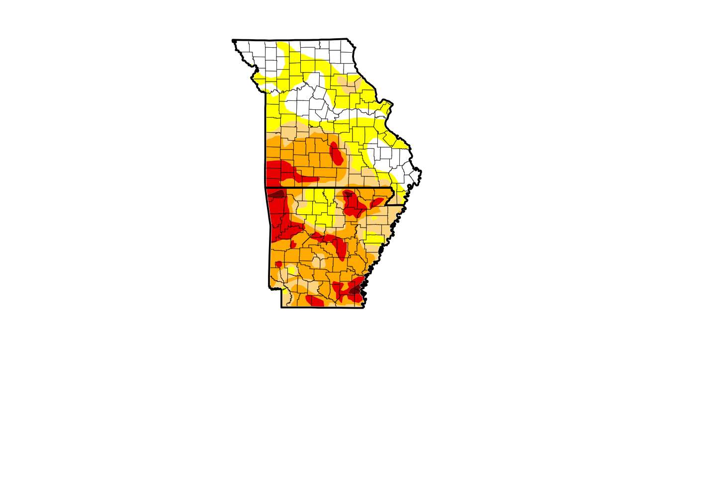 Extreme Drought Expands Across Southern Missouri as Dry Conditions Grip the Ozarks