

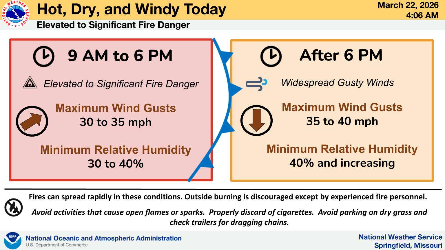
As some areas see another day of record temperatures, area officials are again cautioning against outdoor burning.
Several parts of the Lakes Region saw 90 degree temperatures on Saturday and could again today before a front will cool temperatures down for the start of the week. Wind gusts of up to 35 MPH are possible through the day which will elevate the dangers of fires getting out of control.
The front will pass through late today shifting winds to the north and increasing to possible 40 MPH Gusts.
Temperatures will drop, but still be above normal for March with lows tonight in the 40s and highs into the 60s on Monday.
Another surge of heat will begin Tuesday with temperatures right back to the 80s and 90s by Thursday.


 Three Departments Battle Residential Structure Fire
 C of O Women Claim Another National Championship, Men Win to Close Out Shepherd Tenure
 Final Input for Stone County Planning and Zoning Coming This Week
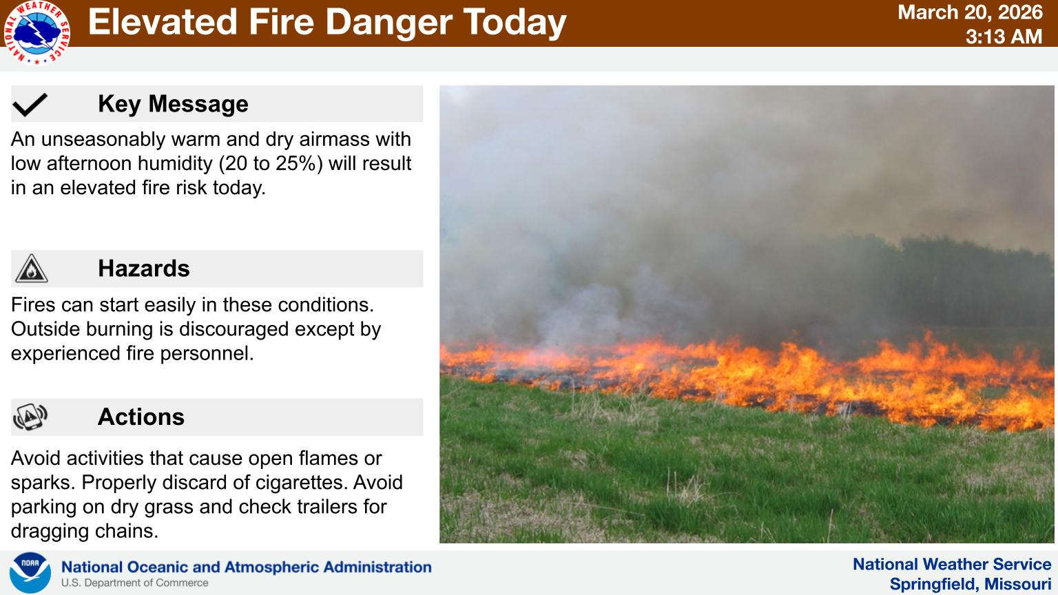 First Day of Spring Feels Like Summer with Fire Risk
 Homicide Investigation in Carroll County