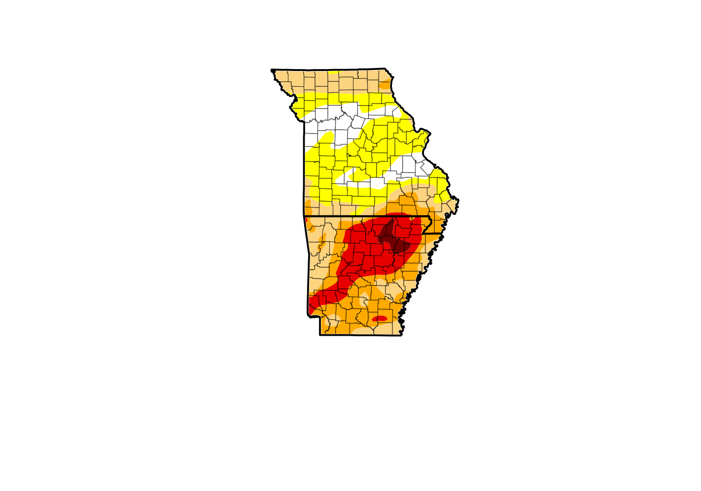
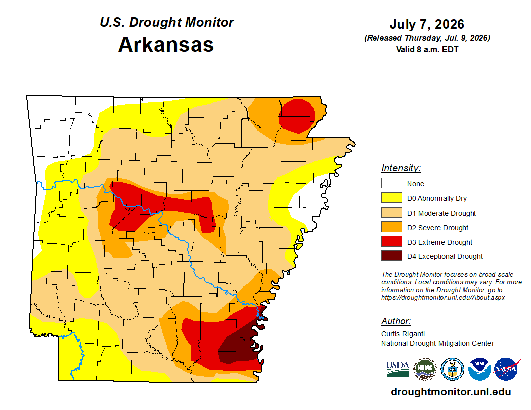
The latest map from the U.S. Drought Monitor shows the Lakes Region still in drought, but no increase in levels.
The map issued on Thursday still shows Arkansas as the most impacted area in the Lakes Region, as areas generally south and east of Harrison remain at an Extreme Level with early crops being impacted and water levels remain low. The rest of northern Arkansas is at a Moderate to Severe Drought Level.
Meanwhile, Missouri still shows less drought impacts, with the majority of the Lakes Region at a Moderate Level with areas of southeast Taney County around Protem into parts of western Ozark County staying Abnormally Dry.
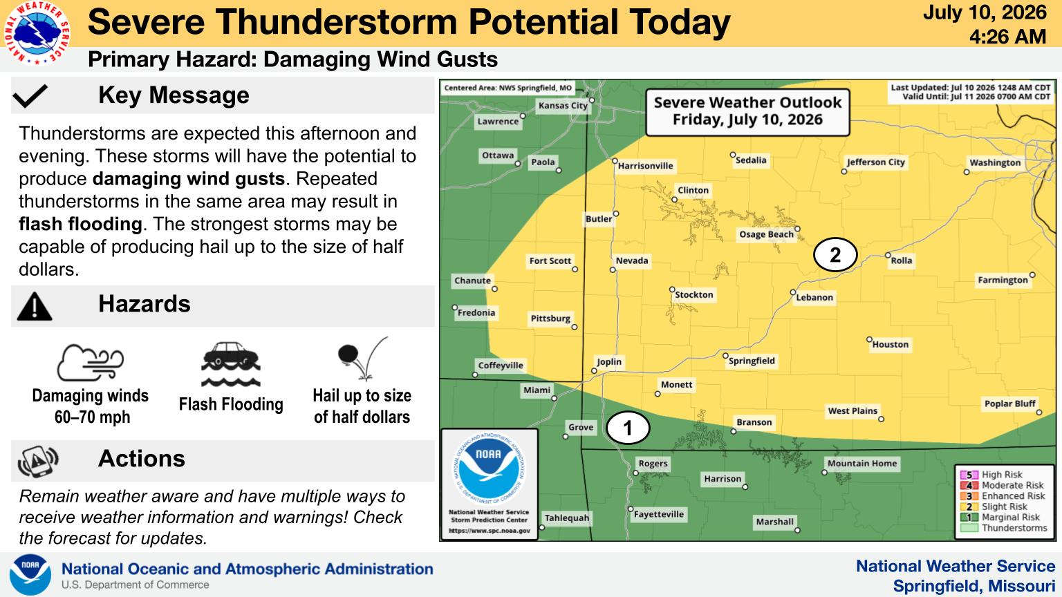
After today's chance of rain, the next round of precipitation is expected in the Ozarks next Wednesday.
 CMN Radiothon Year 3 Results in Around $82,000 in Donations
 CMN Radiothon Day 2
 When Will the Next Chance of Rain Arrive?
 Drought Area Continues to Dwindle
 Stone County Crash Injures Three People