A rainy and stormy two days are ahead in the Lakes Region.
Updated information from the National Weather Service indicates that rounds of rain will impacted the region with some storm totals possible from four to six inches.
A Flood Watch goes into effect this evening through Monday with the potential of flooding rains over that period.
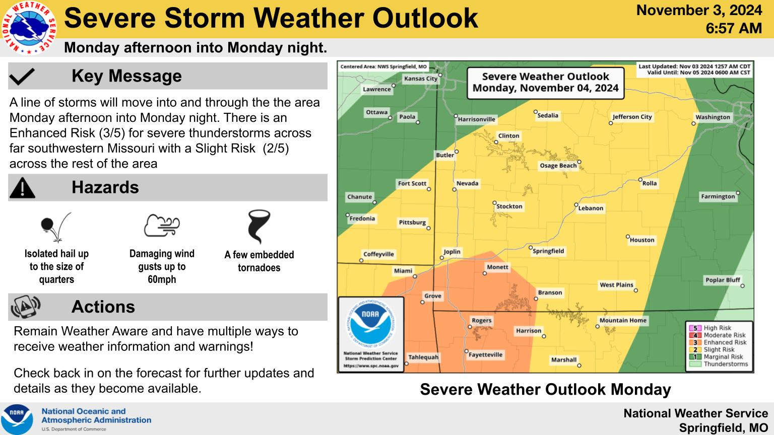
In addition, forecasters have increased the level of severe weather possible Monday afternoon and evening to a level three of five or Enhanced Risk around and west of a Branson-Harrison line. Areas east of that line remain at a level two or slight risk. Strong winds and embedded tornados are two of the potential threats for those storms.
The rain and storms will be moving out Tuesday morning with high temperatures in the 60s.
 CMN Radiothon Year 3 Results in Around $82,000 in Donations
 CMN Radiothon Day 2
 When Will the Next Chance of Rain Arrive?
 Drought Area Continues to Dwindle
 Stone County Crash Injures Three People