
A warm-up continues in the Lakes Region with temperatures in the 60s today with even warmer conditions on Wednesday.
Forecasters with the National Weather Service expect temperatures on Wednesday to approach record levels with highs in the low 70s.
A storm system moving through Wednesday night into Thursday will bring scattered thunderstorm chances though some of those storms could be severe.
Even after the passage of the front, high temperatures will remain in the 60s through the end of the week and return to the 70s by the end of the weekend.
 CMN Radiothon Year 3 Results in Around $82,000 in Donations
 CMN Radiothon Day 2
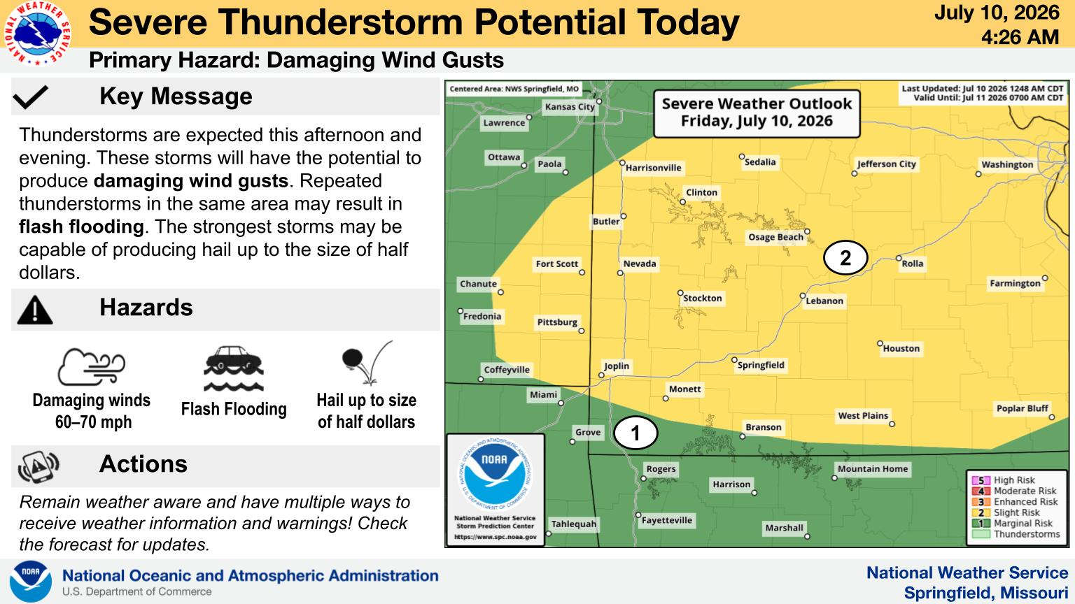 When Will the Next Chance of Rain Arrive?
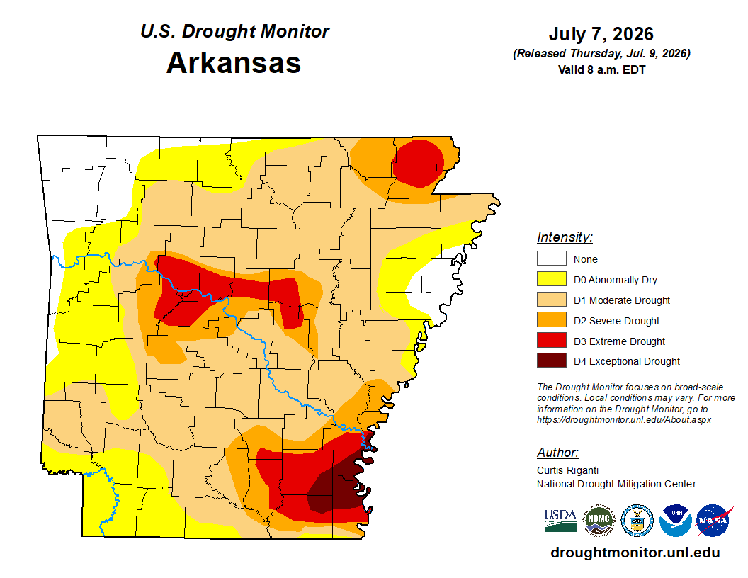 Drought Area Continues to Dwindle
 Stone County Crash Injures Three People