
A batch of severe thunderstorms develop late Saturday night/early Sunday morning.
The storms stayed well north of the Arkansas Lakes Region but did move through parts of the Missouri Lakes Region prompting severe thunderstorm warnings for a time in parts of Stone and Taney Counties.
A report to the National Weather Service in Springfield indicated inch size hail did fall in the Cape Fair area. Other storm reports originated from areas north and east of the Lakes Region.
Some scattered rain is possible this morning followed by clearing conditions with highs in the upper 60s and low 70s. 70 Degree temperatures remain in the forecast for this week with possible elevated fire dangers returning on Tuesday.
 CMN Radiothon Year 3 Results in Around $82,000 in Donations
 CMN Radiothon Day 2
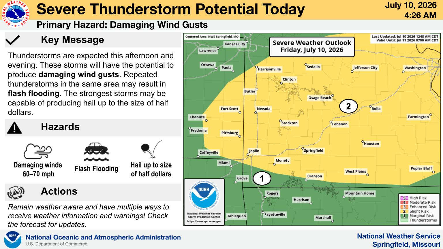 When Will the Next Chance of Rain Arrive?
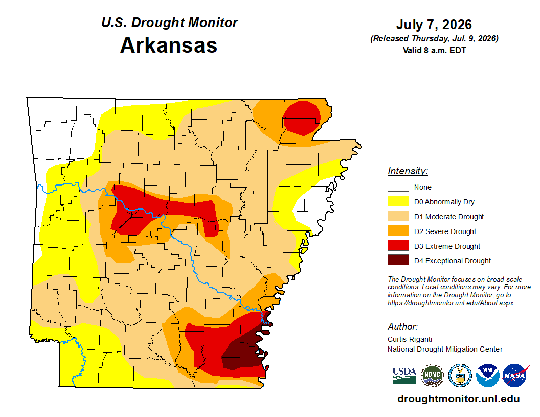 Drought Area Continues to Dwindle
 Stone County Crash Injures Three People