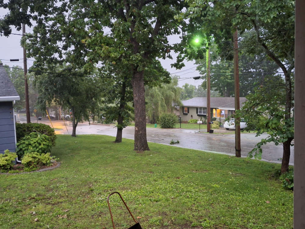
Two rounds of showers and thunderstorms brought severe weather to the Lakes Region.
The National Weather Service issued the first round of Severe Thunderstorm Warnings mid afternoon Saturday with warmings issued from Boone, Marion, Newton, and Searcy counties in north central Arkansas. Those storms weakened as they moved into southern Missouri and no storm damage has been reported with that round of storms.
Another round of storms developed early in the evening impacting primarily southern Missouri. Areas east of a Walnut Shade-Branson line were under Severe Thunderstorm Warnings during this time. Reports submitted to the National Weather Service Office in Springfield indicated around one inch hail fell in areas around Chestnut Ridge near the Christian-Taney County line while several trees were reported down around Walnut Shade. Liberty Utilities also reported that over 250 customers were without power for a time in both the Branson and Reeds Spring areas due to down trees.
Minor flooding also occurred during the storms with several areas of southern Missouri including the Branson-Hollister area under Flood Advisories for a time into early Sunday morning.
Another round of scattered showers and thunderstorms is expected to develop today before a dry period is expected to settle into the region this week.
 Two Dead, Three Injured in Head On Collision in Hollister UPDATE
 Trail Set for Man Charged in March Death of Man at Bee Creek Apartments
 Therapy Dog Continues to be Part of Blue Eye School District
 Mexican Cartel Member Arrested in Lakes Region
 Crane Broiler Festival Underway, Continues Today