
Most of the Lakes Region got much needed rain overnight with the passage of a frontal system.
While the National Weather Service had several watches in effect for the region, most of the storms stayed below severe limits. Once storm did strengthen as it moved through the region prompting a Severe Thunderstorm Warning for central and eastern parts of Taney County as well as parts of Douglas and Ozark Counties. A spotter in the Bradleyville area reported 60 MPH Winds as the storm passed through. A later report to the National Weather Service indicates that some several powerlines and trees were down after the storms hit the Kirbyville area. White River Valley Electric reports several customers still without power due to the morning storms.
The rain also moved through areas that had been impacted by wildfires, including the Glade Top Trail in Douglas County. U.S. Forest officials report that fire was 75% contained prior to the showers moving through overnight.
Rain is exiting the area this morning and skies will clear this afternoon. Temperatures are expected to fall from around 60 into the 50s for Halloween Trick or Treaters this evening then into the 40s overnight.
Rain is expected to return to the region over the weekend.
 CMN Radiothon Year 3 Results in Around $82,000 in Donations
 CMN Radiothon Day 2
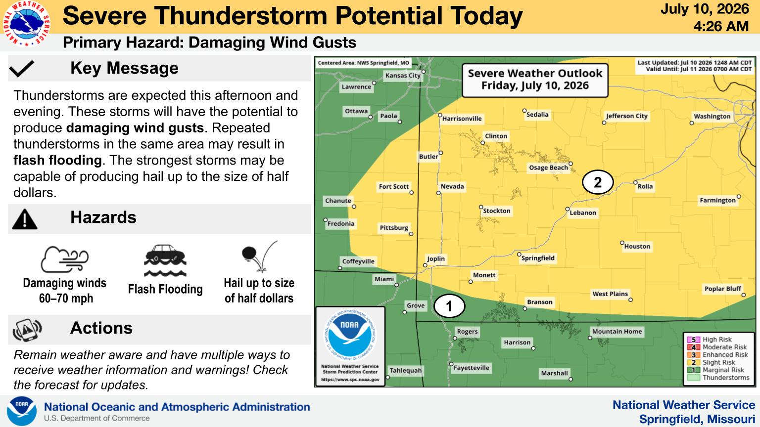 When Will the Next Chance of Rain Arrive?
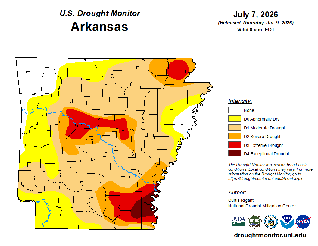 Drought Area Continues to Dwindle
 Stone County Crash Injures Three People