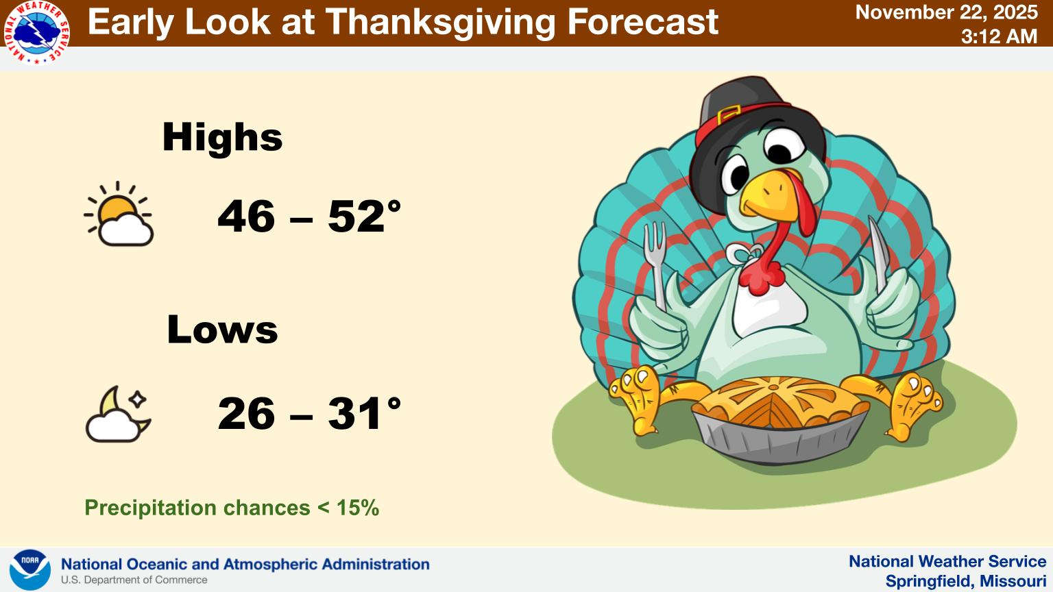
The current trend of warmer weather will end this week as a frontal system will bring more rain and a drop in temperatures.
The National Weather Service says the front will first bring in rain for late tonight into Monday with amounts between a half and one inch possible.
While Tuesday will be warm, the front eventually opens the door for a drop in the Jet Stream which will bring in colder temperatures. The forecast for Thanksgiving Day has temperatures slightly below normal with morning temperatures in the upper 20s and afternoon highs around 50.
The colder temperatures will carry through most of the Thanksgiving Weekend with highs in low 50s, lows in the mid 30s.
 CMN Radiothon Year 3 Results in Around $82,000 in Donations
 CMN Radiothon Day 2
 When Will the Next Chance of Rain Arrive?
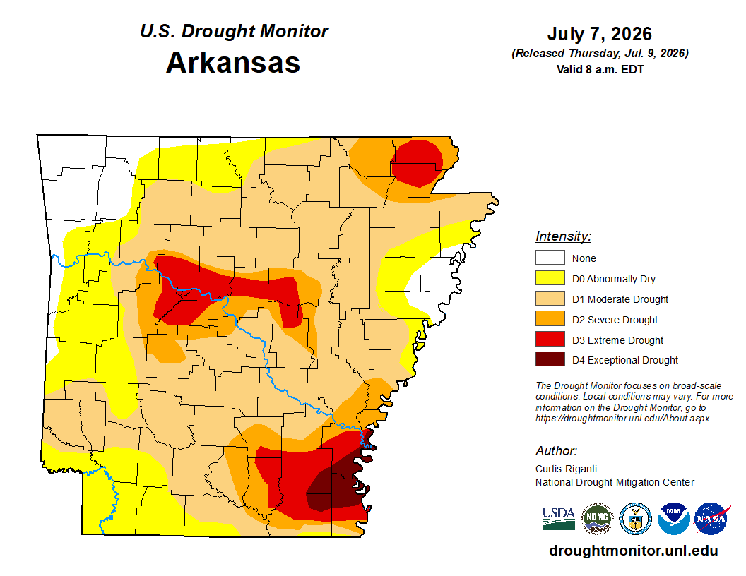 Drought Area Continues to Dwindle
 Stone County Crash Injures Three People