An update on the storms that went through the Lakes Region Sunday night.
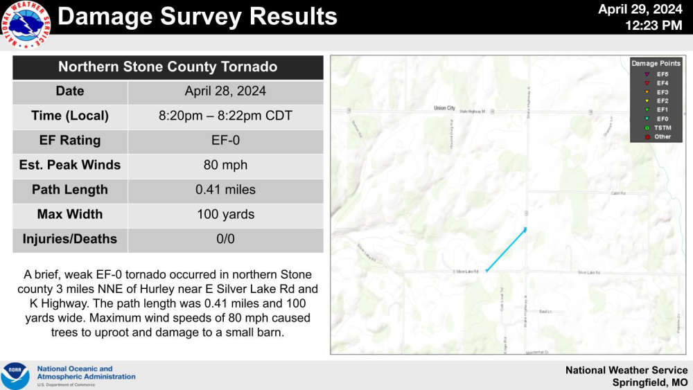
The National Weather Service confirms that a brief tornado touched down in Stone County as part of a complex of storms that moved through the Lakes Region.
In a Storm Survey report released Monday, the weather service says that a brief EF-0 Tornado made the ground northeast of Hurley. The tornado path was under a half mile with a width of 100 yards and maximum speeds of 80 MPH. The tornado did damage to a small barn according to the report. Strong thunderstorm winds did force a tree into a home in that area along with some trees falling on roads.
Meanwhile, no damage has been reported from a tornado that caught on a broadcast media weather camera in Carroll County Sunday night. County Emergency Management officials tell KTHS Radio they saw no evidence of tornado damage in the area of the sighting northwest of Carrollton.
Residual flooding is still occurring after the heavy rain of the storms that moved through the region. The Weather Service continues a Flood Warning for the James River at both Boaz and Galena through Wednesday morning. The river at Galena is expected to crest above flood stage this morning and drop back below flood state Wednesday morning causing some minor flooding.
Another round of showers is expected to begin late Wednesday and continue for periods of each day through the rest of the week.
 CMN Radiothon Year 3 Results in Around $82,000 in Donations
 Ozark Man Hurt in Taney County Crash
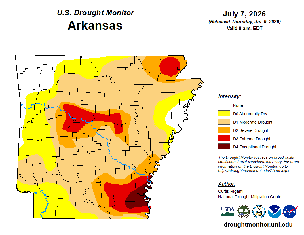 Drought Area Continues to Dwindle
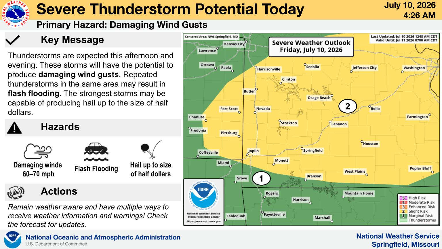 When Will the Next Chance of Rain Arrive?