

The Heat which has gripped the Lakes Region will continue for most of this coming week but National Weather Service Forecasters do see relief arriving by the end of the week.
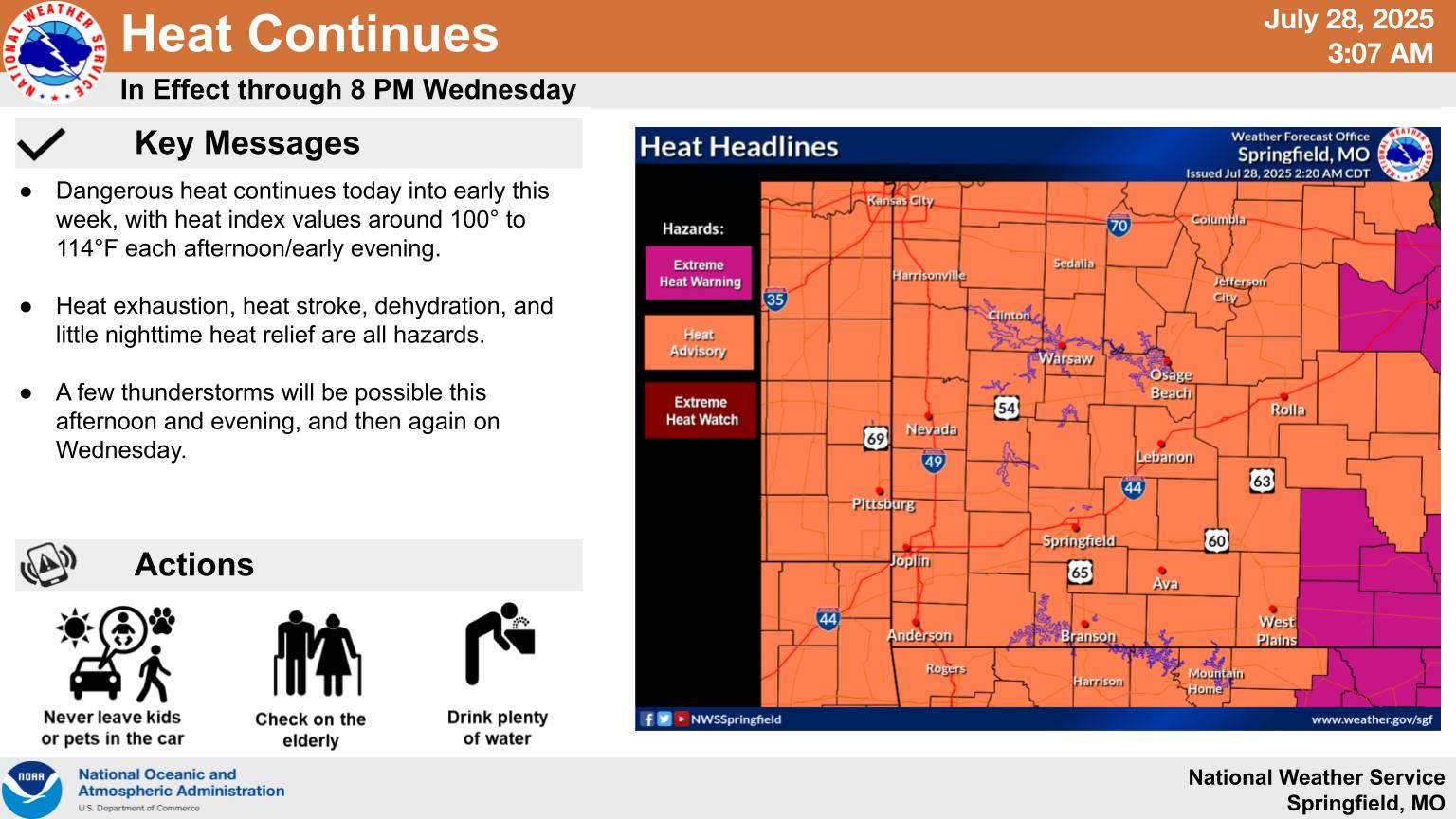
UPDATE Monday 7/28 5:00 am
The Heat Advisory for the Missouri Lakes Region has been extended to Wednesday while in Arkansas, Boone, Marion, Newton and Searcy Counties are under a Heat Advisory through today through Wednesday. Another Heat Advisory is also issued for today for Carroll and Madison Counties.
The entire region will see heat index readings continue to be 100 or higher with little if any precipitation. More significant rain is expected by the end of the week as a frontal boundary will finally break through the ridge of high pressure that has kept the heat in place.
Forecasters see high temperatures getting back into the upper 80s to around 90 and overall trending at or slightly below normal for the following week.


 Woman Sentenced in 2025 Kimberling City Apartment Fire
 Strongest Storms Again Miss Lakes Region
 Fossil Damaged at Top of the Rock
 C of O Basketball Teams Hosting, Playing in Postseason