


National Weather Service Forecasters continue to monitor the potential for severe weather on Monday.
UPDATE Monday 4/1
The latest forecast indicates most of the severe weather for the Lakes Region will be this evening between 8:00 and Midnight with large hail, strong winds, and isolated tornados all possible. In addition, heavy rainfall could cause some localized flooding.
Original Story
Information released Sunday morning shows the Lakes Region at an Enhanced Level for severe storms with large hail and damaging winds being the primary threats. The NWS Report also states that tornados could develop as well as potential heavy rain could possible cause some flooding in some areas.
The strongest storms are expected to develop during the afternoon into the evening hours.
Forecasters said rain and clouds earlier in the day could impact the intensity of the thunderstorms that develop later in the day.


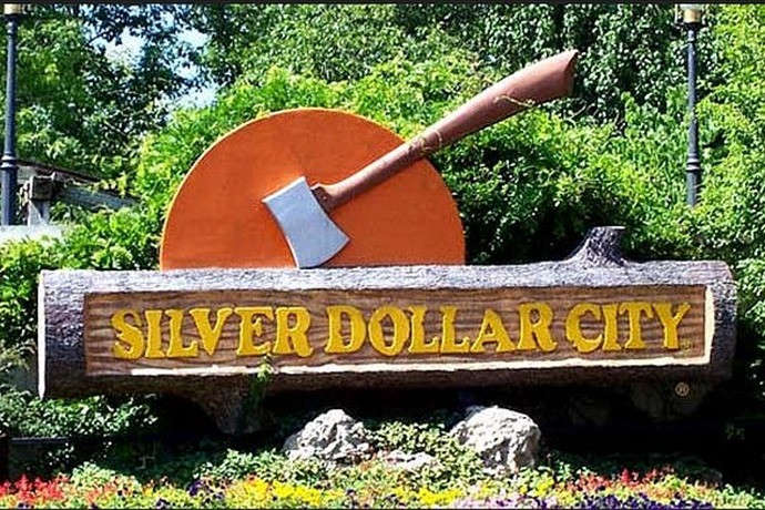 Silver Dollar City Season 66 Opens Today
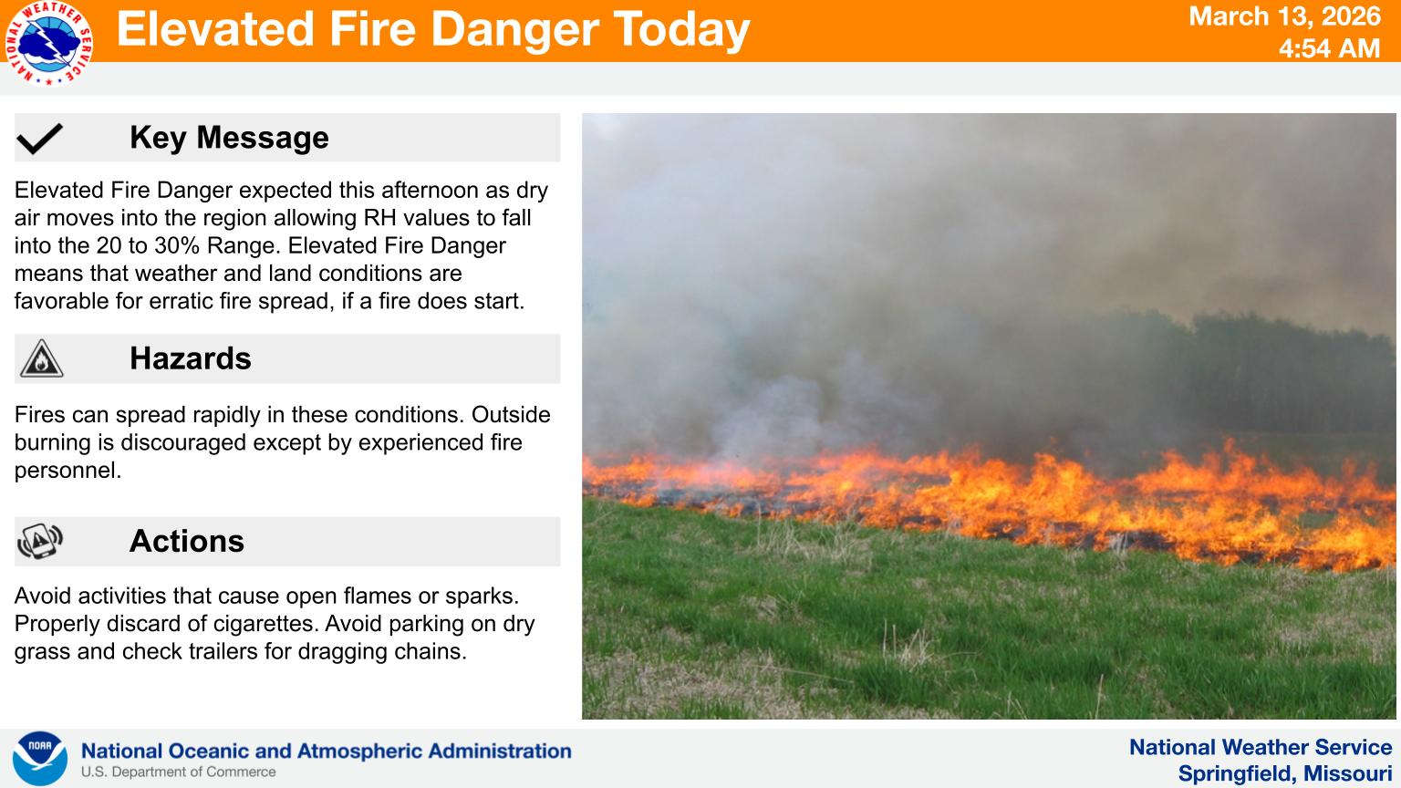 Fire Danger Today, Extreme Temperatures Expected over Next Week
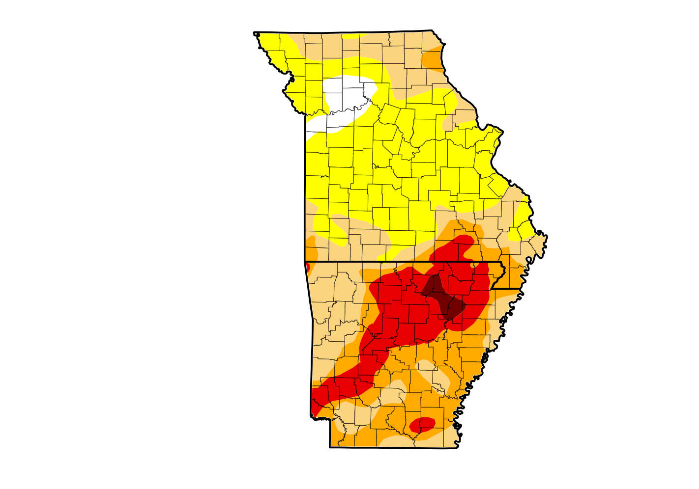 Rain Reduces Drought for Parts of the Lakes Region
 Woman Sentenced in 2025 Kimberling City Apartment Fire