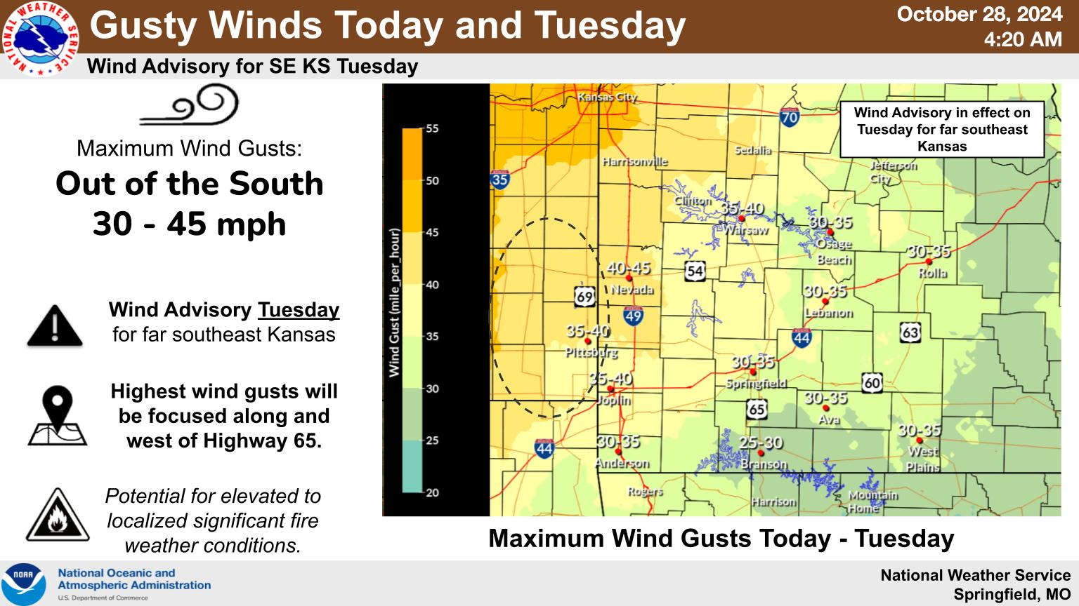
The final days of October will see another surge of potentially record warm weather and a continued fire risk followed by some much needed rain and cooler temperatures later in the week.
Today and Tuesday temperatures will be in the 80s with the National Weather Service predicting the possibility of record highs in areas around Springfield. Today’s record in Springfield is 85, which was set back in 1950. The dry conditions also continue with many burn bans still in effect due to the windy and dry conditions.
A change in the weather pattern is expected on Wednesday which will bring the first significant chance of rain to the Lakes Region in over a month. There is also a marginal to slight risk of severe weather as a front will push through the region Wednesday afternoon and evening.
Rain will clear out on Thursday bringing with it much cooler temperatures for Halloween with highs in the 60s and lows that evening eventually dropping into the 40s. Another chance of rain will enter the forecast picture over the weekend.


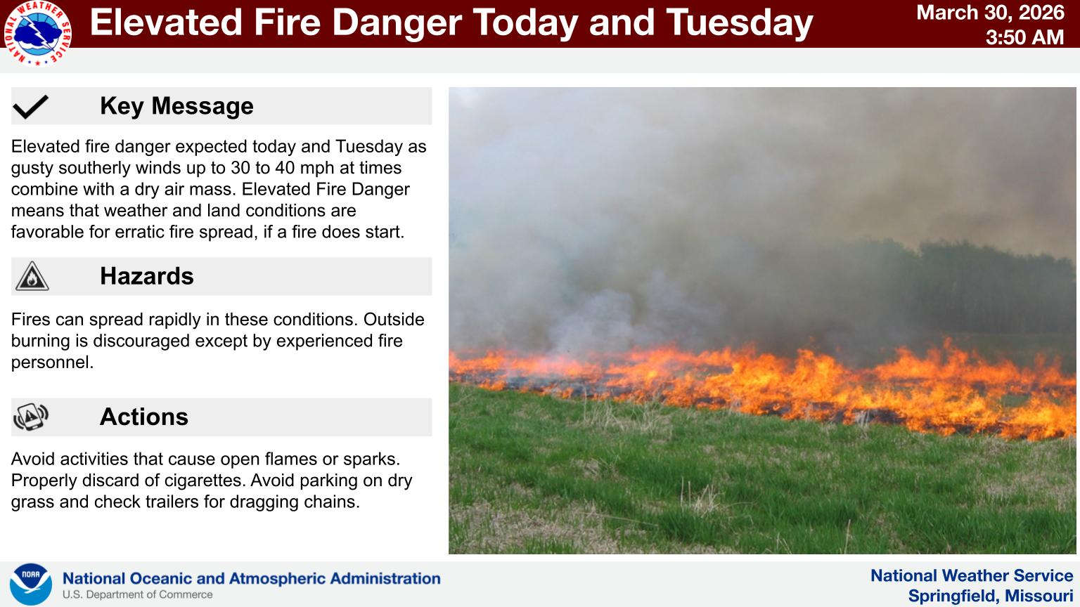 Fire Danger Continues Today, Tuesday
 Forsyth Board of Aldermen Meeting Monday to Discuss Two Major Topics
 Emergency Personnel Team-Up to Rescue Hiker
 Stone County Ambulance District Continues Growth
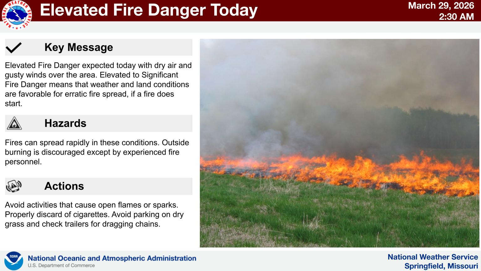 Fire Danger Continues as Temperatures Warm Back Up